
Bakers Brook Bridge Replacement Approach
Location: Gros Morne, NL, Canada
Client: Parks Canada
Duration: 2016
Key Staff: Michael MacDonald, Tim Jordan, Kevin MacDonald, Cory Baker
Project Description
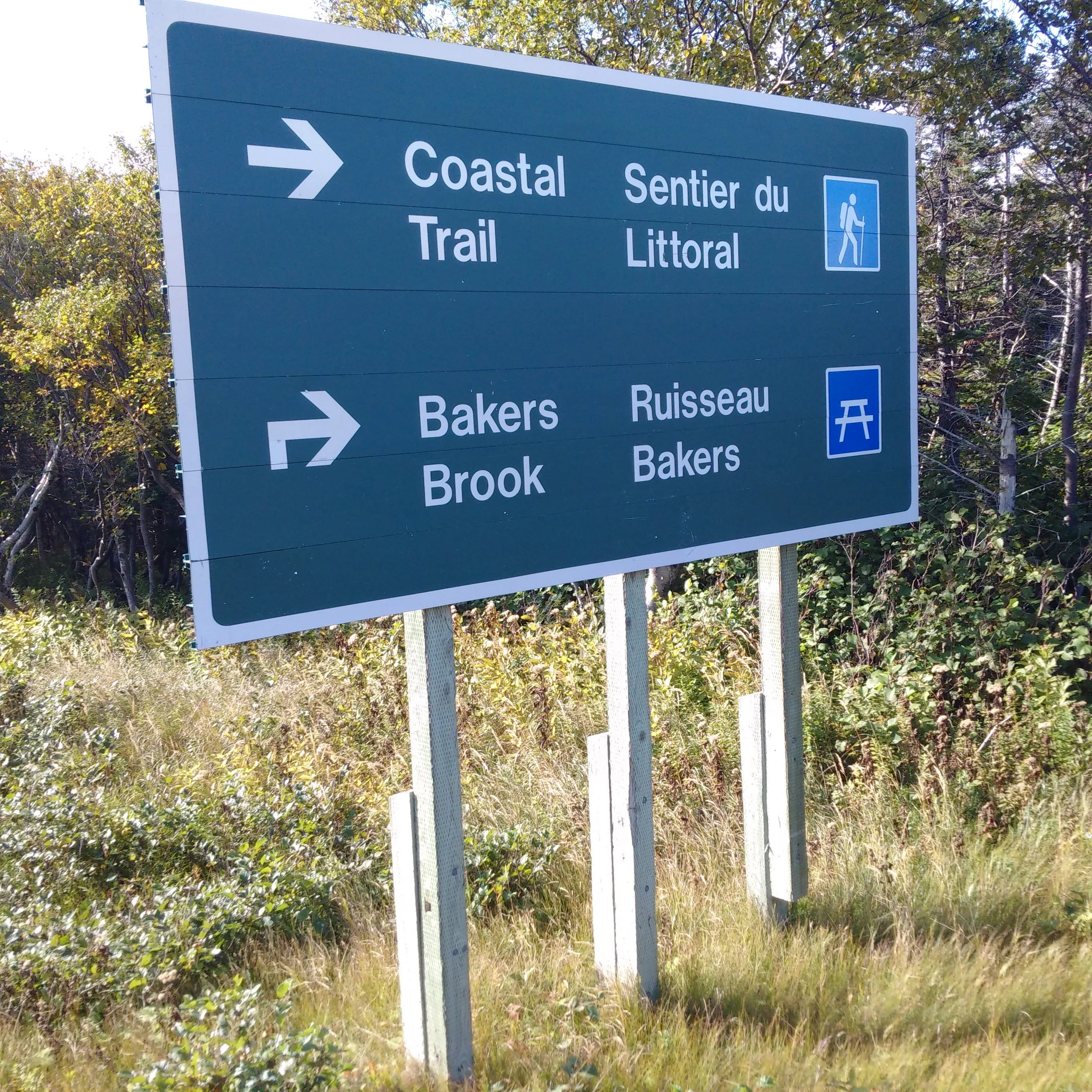
In 2016, Harbourside Transportation Consultants designed the new approach for the replacement Bakers Brook Bridge in Gros Morne National Park, Newfoundland. This was part of a series of sweeping bridge replacements undertaken by Harbourside Engineering Group for Parks Canada.


Harbourside’s Role
Harbourside Transportation Consultants completed the design of the vertical and horizontal alignments, from initial concept layouts through to detailed design and tender for the new approaches to the Bakers Brook Bridge Replacement.
The alignment design was to allow the new bridge to be constructed on the same horizontal alignment as the existing bridge, complete with a temporary detour structure and approach roads. This configuration provided 5.75 m of horizontal clearance between the detour structure and the west side of the new structure which precluded the requirement for any temporary retaining walls and allowed the detour to remain fully open during construction of the new structure without any encroachment of construction equipment in operation on the new bridge or during demolition of the existing bridge.
Vertical alignment options considered were based upon the assumption that maintaining the elevation of the underside of the existing girders (at a minimum) would satisfy the requirement for the hydraulic opening that would be required for the new bridge, as per the preliminary hydraulic calculations performed. The detour road was designed such that two lanes of traffic remained in service during demolition and construction activities. Approaches to the detour structure are tied back into the existing approaches and the total realignment was 266m south from the new south abutment and 269m north from the new north abutment.


The vertical alignment for the detour structure was developed so that the underside of the girder elevation will match that of the existing bridge with vertical curves to meet stopping sight distance and headlight control as applicable. Minimum longitudinal gradient crossing the bridge was established 0.5% to mitigate ponding of runoff on the bridge. A 2% crowned roadway cross section will be utilized. Vertical curve lengths of 50km/hr and ‘K’ values adhere to TAC guidelines.
Unique Challenges
There were three major impacts of the detour bridge that need to be managed: the access road to the southwest, the existing trailhead parking lot and visitor experience interpretive location, which required reinstatement following construction. The existing horizontal alignment was maintained, but the new vertical alignment raised the road surface by 1.085m at the centreline of the south abutment and up by 1.391m at the centreline of the north abutment. This increase was accommodated by raising the tangent approaches gradually in accordance with TAC requirements. Minimum longitudinal gradient crossing the bridge was established at 0.7% to mitigate ponding of runoff on the bridge. A 2% crowned roadway cross section will be utilized.
Social Impact
The construction of the new Bakers Brook bridge was one in a series of developments throughout Gros Morne national park. Like much of the park’s infrastructure at the time, the bridge was aging and in dire need of replacement. With a new structure in place, travel through the iconic park can continue uninterrupted. The redesigned approach ensures that visitors can travel in safety. A more modern structure also ensures that these scenic natural landscapes will remain accessible to visitors for years to come.